
If you’re looking for colder changes, you’re going to have to wait until after Thanksgiving. If you’re liking the warmer temperatures and sunny skies, pre-Thanksgiving week will be the week for you.
🚨 FFS is asking residents to use caution as drought conditions spread across Florida. Several counties have issued outdoor yard debris burn bans, and the Keetch Byrum Drought Index readings indicate severe drought conditions. For fire safety tips, visit https://t.co/guJFtjijfT. pic.twitter.com/qo9FTOm5ib
— Florida Forest Service (@FLForestService) November 21, 2025
The chamber of commerce weather we’ve had this past week will have slight variations at two points this week. We have two cold fronts moving through the state, and although they don’t bring many changes, we expect the second to be stronger than the first.
Check out the dry air that comes over Florida after the second cold front pushes through later next week.
— Florida Public Radio Emergency Network (FPREN) (@FloridaStorms) November 22, 2025
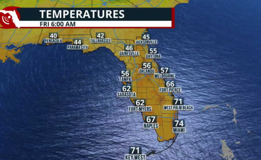
It's going to be a cooler, very dry Thanksgiving in North Florida.
South and Central Florida, you have to wait for Black Friday. pic.twitter.com/M1rO8NzRtf
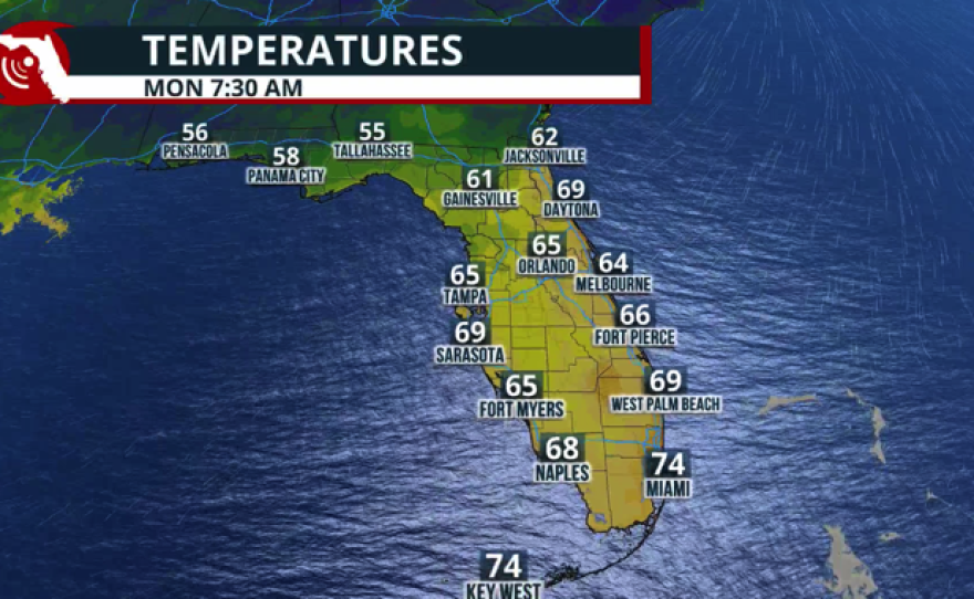
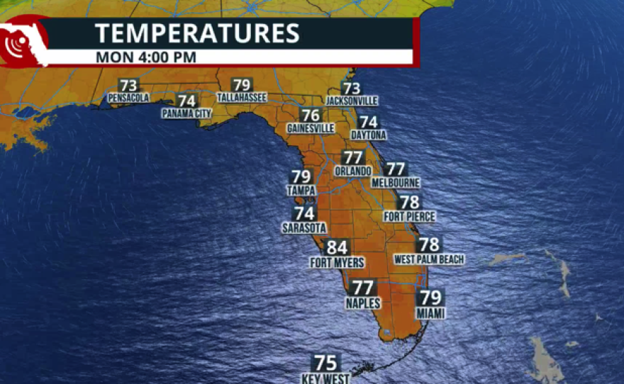
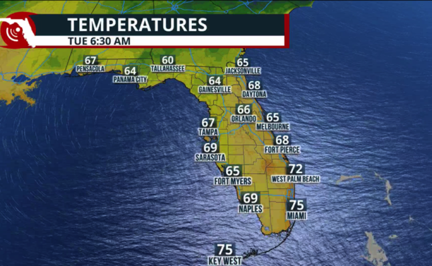
The first cold front will push across Central Florida on Sunday. There’s a low chance of brief isolated passing showers during the afternoon. But as this front moves through the area, it will continue to lose its punch; therefore, we do not expect big news in the rain departments. Areas under a burn ban across Central Florida will likely remain under it until further notice.
Last time Tampa registered rain was on November 9, and it wasn't much, 0.07 inches. In Orlando, the last rainfall was on November 10, with 0.1 inches—also, not much. November is a dry month, but we are well below average so far this month, and the forecast does not look too promising this week, even with two fronts pushing through.
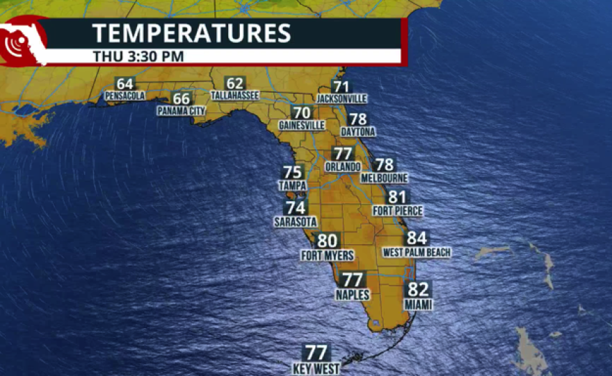
The second cold front will be stronger, but mainly dry.
This second cold front will bring temperatures down just in time for Thanksgiving night and Black Friday. We’re going to go from mid-80s before Thanksgiving to low 70s for Black Friday. On Thanksgiving, there could be a few showers across Central Florida, especially in the afternoon. But the cold front will also lose its moisture as it moves south, and deeper dry air will arrive. The weekend after Thanksgiving, mornings will likely be in the 50s.
Remember that this dry air in place will become stronger with the push of the second cold front. This is a worrisome trend as we continue to deal with a dangerous drought. Many areas continue under a burn ban until further notice. Humidity levels will remain low after each front passes, and we expect breezy conditions just after it. This is a bad combination for wildfires. Please avoid anything that could spark or ignite fires.
Leon County is under a local state of emergency due to a worsening drought. A temporary burn ban is in effect.
— Florida Public Radio Emergency Network (FPREN) (@FloridaStorms) November 22, 2025
Read more about this dry weather and its risks. https://t.co/EAD81RVmFv
